Workshops and Training Programs
Join our workshops and training programs designed to enhance understanding and skills in environmental conservation, sustainable agriculture, and related fields.
Education Resources
Access our collection of educational resources, including informative articles, research papers, and publications. Learn about the latest developments in environmental research, sustainable agriculture techniques, and conservation strategies.
Outreach Events
Attend our outreach events that bring together experts, researchers, and enthusiasts to discuss pressing environmental issues and sustainable agricultural practices. Engage in dialogue, share knowledge, and collaborate with like-minded individuals and organizations.
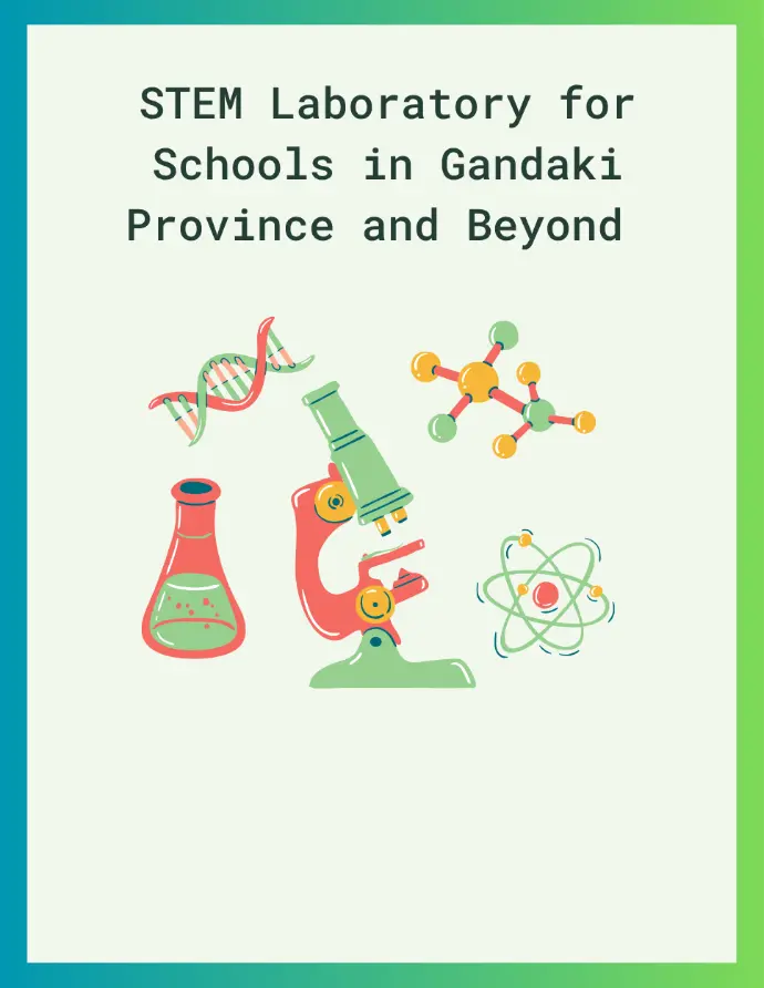
STEM Laboratory for Schools in
Gandaki Province and Beyond
The STEM Lab MasterPlan is a comprehensive guide developed to strengthen science, technology, engineering, and mathematics (STEM) education in schools across Gandaki Province and beyond. It outlines standardized requirements for designing and equipping school-level STEM laboratories, including room dimensions, essential furniture, safety measures, and a complete list of subject-wise equipment and materials.
The masterplan aims to promote STEM education by providing a comprehensive guide for designing, implementing, and maintaining STEM laboratories in schools. It includes infrastructure guidelines, equipment lists, cost estimates, teacher training, and club formation.
This plan is intended for school administrators, policymakers, teachers, and technical professionals involved in science education across Gandaki Province and beyond.
Each lab should accommodate 24 students with a minimum of 43 sq. ft. per student, totaling approximately 1032 sq. ft. of floor space.